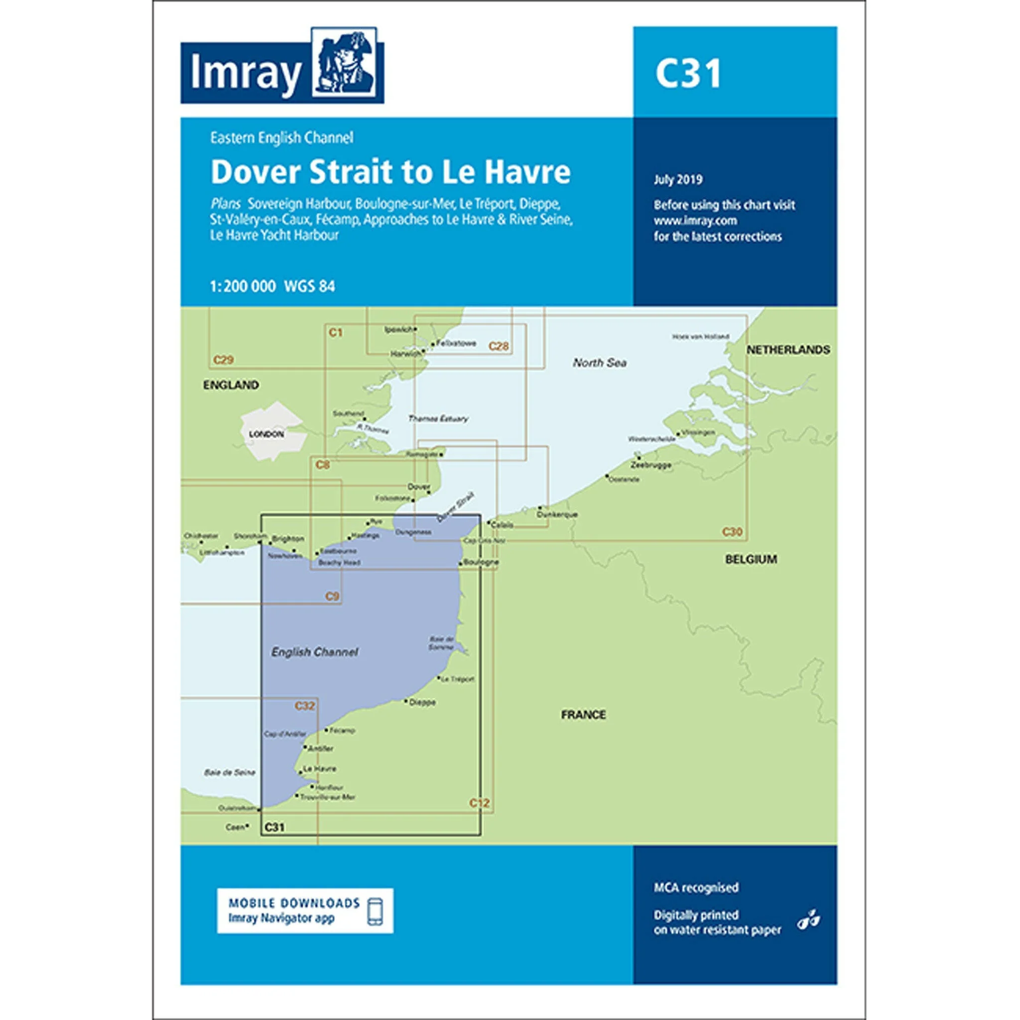
Imray Chart C31 Dover Strait to Le Havre Scale 1:200 000 WGS84
Plans included:
Sovereign Harbour (1:20 000)
Boulogne-sur-Mer (1:25 000)
Le Tréport (1:17 500)
Dieppe (1:17 500)
St-Valéry-en-Caux (1:12 500)
Fécamp (1:15 000)
Approaches to Le Havre & River Seine (1:100 000)
Le Havre Yacht Harbour (1:10 000)
On this edition the chart specification has been improved to show coloured light flashes. Depths have been updated from the latest available surveys. The firing practice areas and marine reserves have also been updated. There has been general updating throughout.
Sovereign Harbour (1:20 000)
Boulogne-sur-Mer (1:25 000)
Le Tréport (1:17 500)
Dieppe (1:17 500)
St-Valéry-en-Caux (1:12 500)
Fécamp (1:15 000)
Approaches to Le Havre & River Seine (1:100 000)
Le Havre Yacht Harbour (1:10 000)
On this edition the chart specification has been improved to show coloured light flashes. Depths have been updated from the latest available surveys. The firing practice areas and marine reserves have also been updated. There has been general updating throughout.
$7.74
Original: $25.81
-70%Imray Chart C31 Dover Strait to Le Havre Scale 1:200 000 WGS84—
$25.81
$7.74Product Information
Product Information
Shipping & Returns
Shipping & Returns
Description
Plans included:
Sovereign Harbour (1:20 000)
Boulogne-sur-Mer (1:25 000)
Le Tréport (1:17 500)
Dieppe (1:17 500)
St-Valéry-en-Caux (1:12 500)
Fécamp (1:15 000)
Approaches to Le Havre & River Seine (1:100 000)
Le Havre Yacht Harbour (1:10 000)
On this edition the chart specification has been improved to show coloured light flashes. Depths have been updated from the latest available surveys. The firing practice areas and marine reserves have also been updated. There has been general updating throughout.
Sovereign Harbour (1:20 000)
Boulogne-sur-Mer (1:25 000)
Le Tréport (1:17 500)
Dieppe (1:17 500)
St-Valéry-en-Caux (1:12 500)
Fécamp (1:15 000)
Approaches to Le Havre & River Seine (1:100 000)
Le Havre Yacht Harbour (1:10 000)
On this edition the chart specification has been improved to show coloured light flashes. Depths have been updated from the latest available surveys. The firing practice areas and marine reserves have also been updated. There has been general updating throughout.